

Senagajima Umikaji Terrace
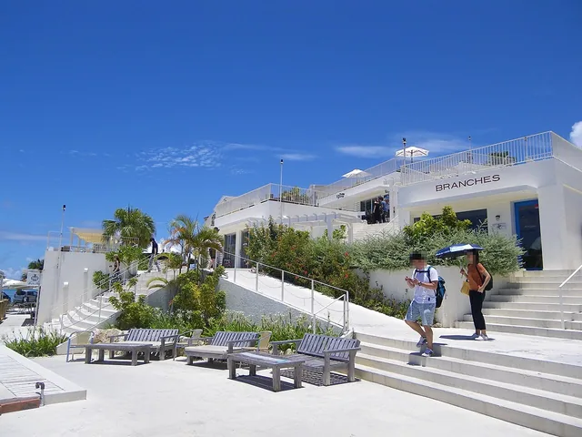
White buildings step down toward the sea at Senagajima Umikaji Terrace.
Photo sourceThings to do
Your travel notes
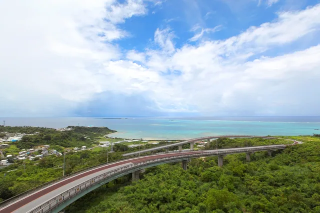
A sweeping curve descends from green hills towards the Pacific, making this bridge a memorable part of a southern Okinawa drive.
The 660-metre bridge connects the hillside route on Prefectural Road 86 with the coastal direction of Route 331 in Nanjo. Its broad curve frames the Pacific, with Kudaka Island visible in suitable conditions. The name refers to an ideal realm beyond the sea; the combination of road, hills and open water gives that idea a memorable setting.
Treat the bridge as part of a journey through the Chinen area rather than an isolated photo stop. A broad view from higher ground pairs well with a later walk at Cape Chinen. Separate driving from photography, checking local signs for places where stopping and viewing are permitted. This makes room to appreciate both the road’s shape and the coastline beyond it.
One suggested way to include this stop in a walk or drive.
| Area | Southern OkinawaNanjo | Category | Sea, nature & scenery |
|---|---|---|---|
| Before visiting | This is a public road. Do not stop or park on the bridge. Follow official guidance and local signs, particularly during bad weather. | ||
| Related links | Official visitor information | ||
White buildings step down toward the sea at Senagajima Umikaji Terrace.
Photo source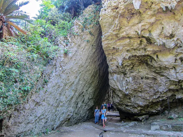
Forest and large rock formations surround one of the Ryukyu Kingdom’s important sacred sites.
Photo source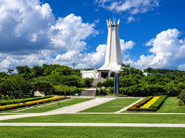
Overlooking the coast at Mabuni, Peace Memorial Park offers time to reflect on Okinawa’s history.